________________________________________________________________________________

________________________________________________________________________________

________________________________________________________________________________


________________________________________________________________________________
On April 29, 1903, the deadliest landslide in Canadian history blew out the east face of Turtle Mountain in southwestern Alberta, killing over 70 people in the town of Frank. This disaster is known as The Frank Slide. Turtle Mountain is about 250 km south of Calgary.

________________________________________________________________________________


________________________________________________________________________________


________________________________________________________________________________


_______________________________________________________________________________

_______________________________________________________________________________
1) Crater Lake Southwest location 2) The Phantom Ship Rock, remnants of an ancient volcano Oregon

_______________________________________________________________________________


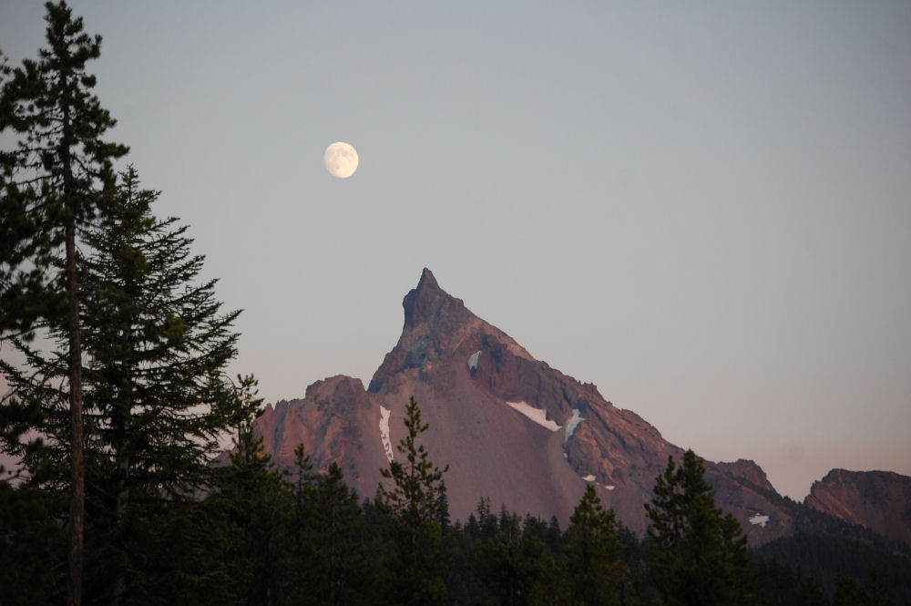
 Sunset at Bald Peak, Oregon USA
___________________________________________________________________________


_______________________________________________________________________________


_______________________________________________________________________________

_______________________________________________________________________________


_______________________________________________________________________________