Endangered Cottonwood-Willow Riparian forest, The Hassayampa River area, Peoria AZ. A local legend says that people who drink from the Hassayampa River will never tell the truth again.
___________________________________________________________________________


 Creyke Point, Vancouver Island BC
 Bigleaf Maple and birch, Port Renfrew, BC northern Vancouver Island
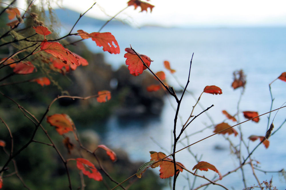
 Autumn mountain view, Ogden, Utah
 Thousand Islands Bridge to the US from Ontario
 Brooklyn, Iowa, USA with grain silos right on main street. Open, blue skies and corn fields, driving east from Oregon US to Ontario, Canada. Too many large IHOP and McDonalds billboards in the fields though, disrupting the otherwise gorgeous scenery.
___________________________________________________________________________


___________________________________________________________________________


________________________________________________________________________________


________________________________________________________________________________


________________________________________________________________________________


________________________________________________________________________________


________________________________________________________________________________
Haystack Rock, on the beach by the town of Cannon Beach, Oregon, was formed by lava flows occurring about 15-16 million years ago. The rock was granted Marine Garden status by the Oregon Department of Fish and Wildlife in 1990 because it is a nesting site for many seabirds, in particular the Puffin. During early Summer, wildlife officers and volunteers are there to answer questions about the birds and many forms of marine life living in its tidal pools, plus they stand guard to ensure that no one climbs the rocks to disturb nests.
Haystack Rock is featured as scenery in U.S. advertising, and movies such as ‘The Goonies’, ‘1941’, and ‘Kindergarten Cop’.
Oregon beaches are rugged, and due to the inconsistent, unpredictable weather, are not so much tourist destinations for tanning, but are perfect for recreation like walking, hiking, kayaking and wind-surfing. Campfires are permitted on many of the Oregon beaches – not Cannon Beach though – and are great for family gatherings and picnics. Cannon Beach is generally warmer and less windy than many of the coastal locations not far from Portland.

________________________________________________________________________________


________________________________________________________________________________
On April 29, 1903, the deadliest landslide in Canadian history blew out the east face of Turtle Mountain in southwestern Alberta, killing over 70 people in the town of Frank. This disaster is known as The Frank Slide. Turtle Mountain is about 250 km south of Calgary.